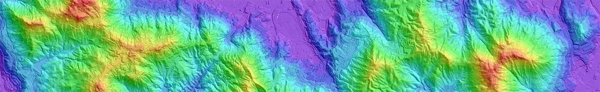
DiMap collected lidar data of ~500 km2 of Hong Kong in November 2017 using a RIEGL LMS-Q780 (wavelength 1064 nm) scanner. Both discrete return data and full-waveform data are available. The high-quality LiDAR point cloud is delivered with an average density of 20 points / m2, up to seven return per pulse, and better than 10 cm accuracy in all directions. The data have been processed into some basic data products, including digital terrain models and digital surface models, as well as corresponding hillshade maps. The maximum spatial resolution of these raster data products is 0.5 meters per pixel. These data, as well as raw data (discrete return and full-waveform data ) or other data products are available for research purposes. If you would like to know more about the available data, please fill in an inquiry form below and we will get back to you as soon as possible.
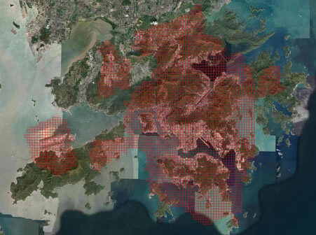
Coverage of lidar dataset in Hong Kong
Data Request
Please provide your name, email, and organisation, as well a short description of the intended application. If you know the exact location, please enter the latitude and longitude of the corners. If you are not sure of the exact area, please just type in a rough estimate.